HarborsNo photograph on record
↳About the work
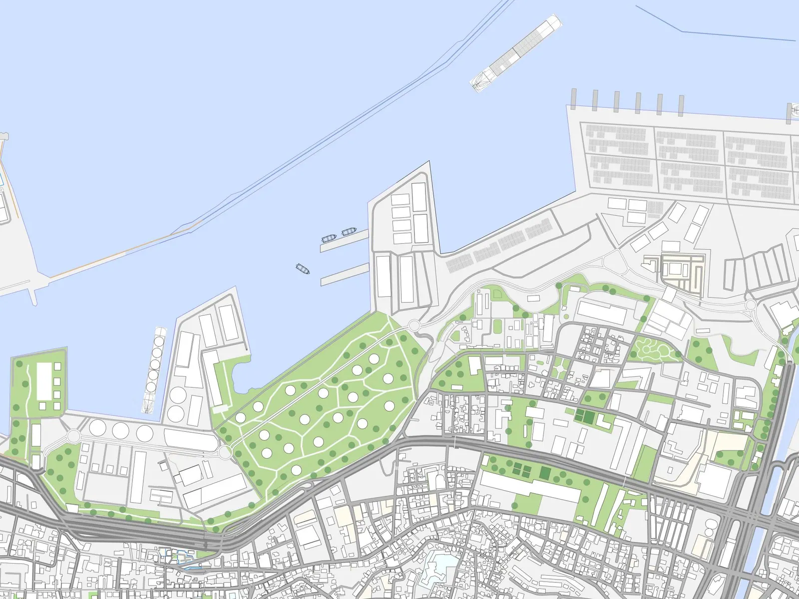
A major detailed master planning study for the expansion of Beirut Port from Beirut River to the West up to Nahr el Mout river to the East involving a gross area of around 1.4 sq Km of which 1.2 sq Km shall be reclaimed from the sea.
A major detailed master planning study for the expansion of Beirut Port from Beirut River to the West up to Nahr el Mout river to the East involving a gross area of around 1.4 sq Km of which 1.2 sq Km shall be reclaimed from the sea.
The study involved the following major components:
- Expansion of port facilities so as to incorporate new fuel-tank farm, fuel carrier/tanker docking and traffic management facilities.
- Expansion of dock # 16 and relocation of existing land-uses.
- Land-use assignment to relocate and accommodate the following facilities:
- Existing slaughter facility
- Public Souk / Market Complex
- Fishermen Port facilities
- Solid Waste Treatment facility
- Military Base of Bay # 1
- Environmental Improvements including site allocation for Sewage Treatment Plant & the Borj Hammoud dump area and its Management.
- Physical Master planning of expansion area East of Beirut Port from Nahr Beirut to Nahr El-Mout.
- Physical Master planning of area south of Beirut Port between Nahr Beirut to the East and El-Quarantina area to the West including the Planned Motorway to the south.